Captain Cook — the three voyages that mapped everything.
James Cook made three circumnavigations between 1768 and 1779. He mapped New Zealand, Australia, Hawaii, and Tahiti, made the first transit of the Antarctic Circle, and was killed in a misunderstanding on his third.
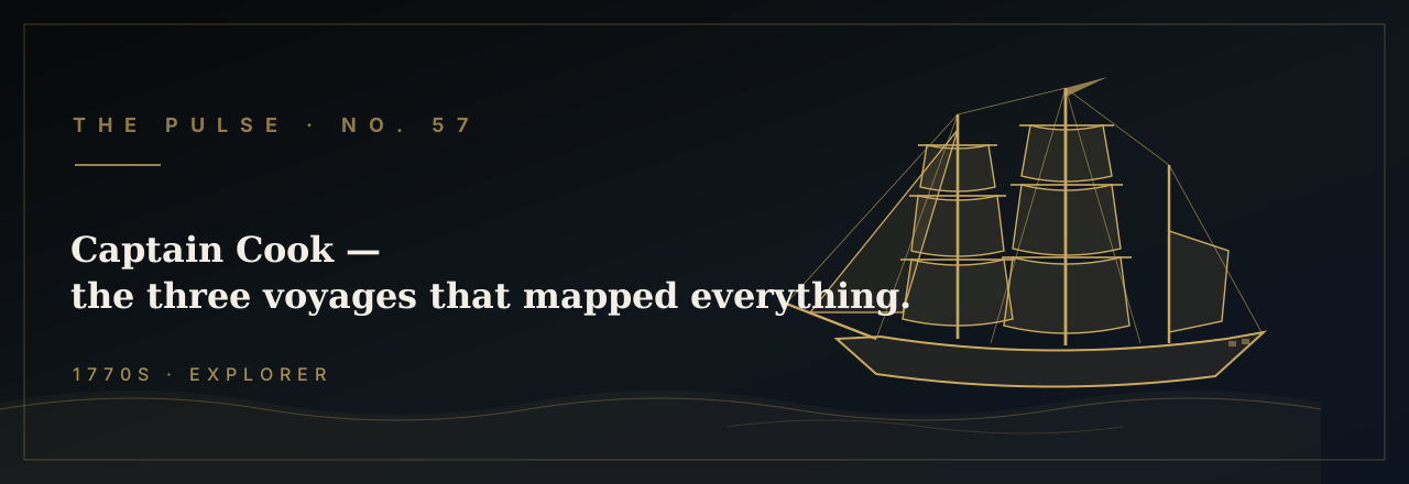
On the morning of August 26, 1768, a converted coal-hauler named Endeavour slipped out of Plymouth Sound carrying 94 men, a cargo of trade goods, and two sets of orders — one public, one sealed. The public mission was scientific: deliver a Royal Society astronomical team to Tahiti in time to observe the Transit of Venus on June 3, 1769, a rare alignment that, measured from multiple points on Earth, would finally yield the distance from the Earth to the Sun. The sealed orders, to be opened only after the observation, directed Lieutenant James Cook to sail south and west in search of the great southern continent — Terra Australis Incognita — that European geographers had theorized for two thousand years. Cook was forty years old, a surveyor's son from Yorkshire who had taught himself mathematics and navigation while carrying coal on the North Sea run. Over the next eleven years he would make three circumnavigations, log more than 200,000 sea miles, and remake the map of the world.
Endeavour was no warship. She was a 368-ton Whitby collier — flat-bottomed, broad-beamed, and built to take punishment in shallow water — which made her ideal for exactly the kind of coastline-hugging Cook intended to do. He also brought aboard Joseph Banks, a wealthy twenty-five-year-old botanist who funded his own retinue of artists, naturalists, and servants, ultimately filling the ship with specimens, sketches, and live plants. The Tahiti mission succeeded on schedule: Cook erected Fort Venus on the beach at Matavai Bay, the astronomers recorded their measurements, and the transit data was duly logged — though cloud cover at critical moments limited its accuracy. Then Cook broke open his sealed orders, provisioned the ship, and turned south into the unknown.
What followed was eleven months of systematic revelation. Cook mapped the entire 2,400-mile coastline of New Zealand — two islands, not one continent — proving it was not the eastern horn of Terra Australis. He then pressed west, and on April 19, 1770, his lookout sighted the southeastern coast of Australia. Cook spent four months crawling north along 2,000 miles of that shore, naming headlands, recording depths, and on June 11, 1770, driving Endeavour hard onto the Great Barrier Reef — lodging her so firmly that it took 23 hours of desperate pumping and the jettisoning of 50 tons of ballast, guns, and stores to float her free. He limped to a river mouth (now Cooktown), careened the ship on the bank, and found a coral head the size of a fist still plugged in the hull. When Endeavour finally reached England in July 1771, Cook had been gone nearly three years. He had claimed New South Wales for the Crown and mapped more coastline than any previous expedition in history.
The Admiralty gave him barely a year ashore. In July 1772 Cook sailed again, commanding Resolution (462 tons) with the smaller Adventure under Captain Tobias Furneaux in company. Their objective was definitive: find the southern continent or prove it did not exist. On January 17, 1773, Resolution crossed the Antarctic Circle at 66°33' south — the first ship in recorded history to do so. Cook crossed it twice more on this voyage, reaching 71°10'S on January 30, 1774, farther south than any human had ever been, before a wall of pack ice 200 feet high turned him back. There was land behind that ice, though Cook could not see it; he concluded that if a southern continent existed, it lay under permanent ice and was "not worth the discovery." Antarctica would not be sighted until 1820, forty years after his death.
The second voyage also carried the instrument that at last solved the great navigational problem of the age. John Harrison's marine chronometer K1 — a copy of Harrison's celebrated H4, accurate to within one-third of a second per day — allowed Cook to calculate longitude with precision no previous navigator had achieved. For two centuries, ships had been lost, wrecked, and misdirected because they could not know how far east or west they stood; the chronometer ended that era. Cook tested K1 obsessively throughout the voyage, comparing it against lunar observations, and the charts he produced were so accurate that 19th-century Admiralty surveyors found his Pacific island positions correct to within a fraction of a mile. He returned to England in July 1775 having spent 1,112 days at sea without losing a single man to scurvy — a feat he achieved through fanatical attention to diet, forcing his crew to eat sauerkraut, malt wort, and fresh provisions at every landfall.
He was home fourteen months when the orders came for a third voyage. This time the mission was the Northwest Passage — to be approached from the Pacific, sailing north along the North American coast to find the navigable channel through the Arctic that had consumed European ambition since Magellan. Cook sailed in July 1776 again commanding Resolution, with Discovery under Captain Charles Clerke. On January 18, 1778, running northeast across the Pacific, Cook's lookout raised land that appeared on no European chart — two large islands rising green and volcanic from a cobalt sea. Within days he had encountered the people of the Hawaiian Islands, which he named the Sandwich Islands in honor of his patron the Earl of Sandwich. The Hawaiians' canoes swarmed both ships; they traded freely, showed no fear, and spoke a Polynesian dialect that Cook's Tahitian interpreter could partially understand. Cook anchored briefly, resupplied, and pressed northeast toward his primary objective.
He reached the Oregon coast in March 1778, then spent seven months mapping the Pacific face of North America — from Cape Foulweather in present-day Oregon north through the Gulf of Alaska, across the Bering Strait, and into the Arctic Ocean to 70°44' north before pack ice sealed the passage in August. His charts of the Northwest Coast were so precise that when George Vancouver, who had sailed as a midshipman under Cook, returned to survey the same waters in 1792, he found scarcely a headland out of place. Cook turned south for the winter, intending to return for another northern attempt the following summer. On January 17, 1779, he re-entered Kealakekua Bay on the Big Island of Hawaii to a thunderous reception — hundreds of canoes, chanting priests, a crowd estimated at ten thousand — in circumstances scholars still debate, possibly coinciding with a festival honoring the god Lono whose annual return Cook's arrival seemed, in timing and spectacle, to fulfill.
The end came quickly and badly. After a week of repair and exchange, Resolution sailed on February 4, 1779, only to be driven back by a storm that snapped her foremast. The second arrival was different — the festival had ended, tensions had risen — and on the night of February 13 someone made off with Discovery's cutter. Cook went ashore the next morning with a marine escort to take a local chief hostage until the boat was returned, a gambit he had used successfully a dozen times across the Pacific. This time the crowd pressed too close, a shot was fired across the bay, and in the chaos that followed Cook was struck from behind, stabbed repeatedly, and drowned in the surf at Kealakekua Bay on February 14, 1779, at the age of fifty. He had spent the previous eleven years reducing the blank spaces of the Pacific from philosophical argument to navigated fact, and established a standard of seamanship and scientific observation that the Royal Navy would not surpass for a century. The tradition of Pacific surveying he institutionalized eventually sent George Vancouver's Discovery to chart the California coast in 1793, producing the first reliable survey of the waters off Point Loma — the same horizon that greets every vessel clearing San Diego Bay today, on courses Cook's charts made possible.
Two designs for Pulse No. 57.
Bella + Canvas 3001 unisex tee. Printed on demand and shipped from the U.S. $34.99 + tax + shipping.
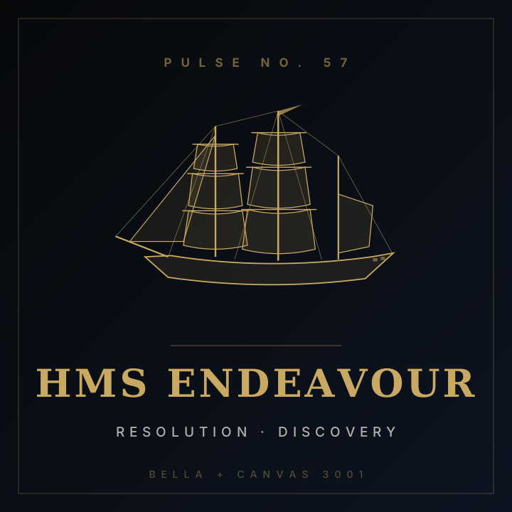
Cook Tee
HMS ENDEAVOUR · RESOLUTION · DISCOVERY

A Hazardous and Disagreeable Business
Cook's description of exploring the Pacific coastline.