San Diego Bay — the harbor that wasn't mapped until Cabrillo sailed in, and what it's been ever since.
Juan Rodríguez Cabrillo entered the bay on September 28, 1542. He called it San Miguel. The name changed. The Navy came 350 years later and never left.
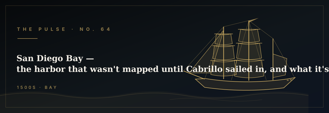
On the morning of Juan Rodríguez Cabrillo's third week at sea, the lookouts aboard the galleon San Salvador spotted a break in the California coastline — a wide, sheltered bay running some fourteen miles inland from the Pacific. Cabrillo dropped anchor on September 28, 1542, in the harbor he named San Miguel, recording it in his log as "a very good enclosed port" — a professional understatement from the Portuguese-born navigator sailing on behalf of Viceroy Antonio de Mendoza of New Spain. Cabrillo commanded two vessels — the San Salvador and the smaller caravel Victoria — and they were the first European keels to cut the flat green water of what would one day become the greatest naval base in the Western Hemisphere. He stayed three days, took on water, made contact with the local Kumeyaay people, and sailed north. He would die on San Miguel Island in the Channel Islands the following January, never knowing the harbor he had charted would outlast his name on every map.
The name San Miguel survived on Spanish charts for exactly sixty years. In November 1602, the merchant captain and royal cosmographer Sebastián Vizcaíno sailed into the same bay with three vessels — the San Diego, the Santo Tomás, and the small frigate Tres Reyes — on a commission to resurvey the California coast. He arrived on November 10, the feast day of San Diego de Alcalá, the Franciscan lay brother canonized in 1588, and renamed the harbor accordingly. Vizcaíno was an enthusiastic promoter — his dispatches to Madrid described the bay in glowing terms, calling it capable of sheltering "all the armadas of our lord the King." The Spanish crown filed his report and did essentially nothing. For the next 167 years, the bay sat undeveloped and unmanned by any European power, visited only by Manila galleons running the Pacific trade route who occasionally ducked inside for water and repairs.
Spain's first permanent foothold in the bay came on July 16, 1769, when Gaspar de Portolá and Father Junípero Serra founded Mission San Diego de Alcalá and the Royal Presidio of San Diego — the first European settlement on the Pacific coast of the present-day United States. Two packet ships, the San Carlos and the San Antonio, had delivered the first colonists by sea months earlier, both crews nearly destroyed by scurvy after rounding Baja. The harbor they entered was deep, calm, and perfectly oriented against the Pacific swell — but Spain never sent the warships Vizcaíno had imagined anchored here. Instead, the Presidio was manned by a handful of leather-jacketed soldiers, and the bay's commercial potential sat dormant for another half century, its primary strategic value being that it existed at all.
It was the hide trade that first made San Diego Bay a working port. By the 1820s and 1830s, New England trading brigs were making the months-long passage around Cape Horn to collect cattle hides — "California bank notes," as the rancheros called them — from the sprawling land grants of newly independent Mexico. Richard Henry Dana Jr., a Harvard student turned deckhand aboard the brig Pilgrim, arrived in San Diego in late 1835 and described the hide houses at La Playa with the precision of a man who had spent weeks curing and stacking cowhides: "a low, sandy point, put out into the bay, formed on the starboard side of the entrance, and covered with hide-houses." Dana's Two Years Before the Mast (1840) remains the sharpest portrait of San Diego Bay in its commercial infancy — a roadstead where trading brigs swung at anchor while their crews hauled hides through the surf by hand, eighty thousand of them pressed and dried for the long passage home. It was a harbor that worked, but barely, and only for a single commodity.
The Mexican-American War ended the hide era and changed the bay's flag in a single summer. On July 29, 1846, the sloop-of-war USS Cyane stood into San Diego Bay under Commander Samuel Francis Du Pont, raised the American ensign over the Presidio, and secured the town without firing a shot. Du Pont — who would later command the Union ironclad attack on Charleston Harbor in April 1863 — spent several weeks at anchor in the bay, reporting back to Commodore Robert F. Stockton aboard the frigate Congress that San Diego was calm, cooperative, and geographically ideal. The Treaty of Guadalupe Hidalgo in February 1848 made it American permanently. What happened next, however, took longer than anyone expected: for another fifty years, the United States Navy regarded San Diego Bay as a pleasant anchorage and nothing more, while the real naval infrastructure — the yards, the coalers, the dry docks — stayed anchored in San Francisco and Puget Sound.
The Navy's permanent arrival came not with a single fleet but with a series of small, deliberate steps across the first two decades of the twentieth century. Congress authorized a coaling station at San Diego in 1898, the same year the Spanish-American War exposed the punishing distances of Pacific naval logistics. In April 1908, President Roosevelt's Great White Fleet — sixteen battleships painted brilliant white on the most consequential naval demonstration in American history — called at San Diego Bay, and tens of thousands of Californians lined the waterfront to watch. Three years later, in 1911, aviation pioneer Glenn Curtiss established a flying school on North Island, the low sandy peninsula pinching the bay's mouth — and the Navy immediately grasped its significance. Naval Air Station North Island was commissioned in 1917, the same year the Naval Training Station opened on the bay's eastern shore. The harbor Vizcaíno had described three centuries earlier as fit for all the armadas of the King had at last found its armada.
Today, San Diego Bay anchors the largest concentration of naval warships in the world. Naval Base San Diego — stretched across thirteen piers on the bay's eastern waterfront — berths the ships of the U.S. Pacific Fleet, including nuclear-powered aircraft carriers, guided-missile destroyers, amphibious assault ships, and the submarines that prowl submerged from Point Loma. The 11th Naval District, established in 1919, consolidated command of the entire Southwest Pacific naval region in the same harbor where Du Pont had rowed ashore with his marines in 1846. The same deep-water channel that sheltered the San Salvador in 1542 now handles vessels whose displacement Cabrillo could not have imagined — nuclear carriers of 100,000 tons, Los Angeles-class submarines running silent through the bay's approaches in water the Victoria could have anchored in with room to spare.
Four centuries of history on this harbor compress into a single, insistent fact: San Diego Bay has always pulled naval power toward it, whether or not anyone intended to send it. The Kumeyaay fished its shallows for ten thousand years before a Portuguese navigator dropped anchor and called it good. Vizcaíno declared its strategic merit to a court that ignored him for 167 years. Du Pont seized it in an afternoon and wrote dispatches that the Navy shelved for another half century. And then, with the logic of geography reasserting itself, the fleet came anyway — and built the largest naval installation in the Western Hemisphere on the same water that Cabrillo glassed from the deck of the San Salvador on a September morning more than four hundred and eighty years ago. The harbor did not need to be promoted. It only needed to be found.
Two designs for Pulse No. 64.
Bella + Canvas 3001 unisex tee. Printed on demand and shipped from the U.S. $34.99 + tax + shipping.
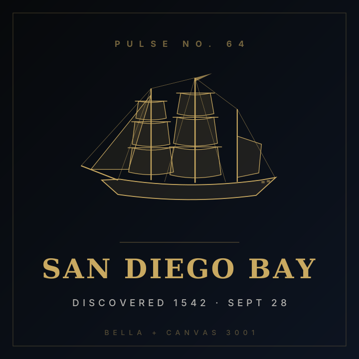
Cabrillo Tee
SAN DIEGO BAY · DISCOVERED 1542 · SEPT 28
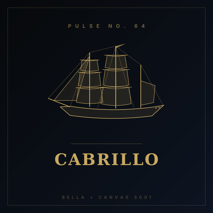
Cabrillo
The man who named the bay, though not by its current name.